Manage Soil Health and Performance
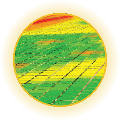
Variable rate maps are crucial in agriculture for integrating data from multiple sources, such as crop yields, soil type and quality, weather patterns, and market prices, to analyze the performance and profitability of farms or agricultural systems.


CROP MANAGEMENT
Variable rate maps provide growers with information on crop yields, soil quality, and weather patterns, which can help them make decisions about when to plant, fertilize, irrigate, and harvest crops. For instance, if you notice certain sections of your field is consistently giving lower yield, variable rate maps can help you identify the potential causes, such as poor soil quality or inadequate irrigation.

INPUT OPTIMIZATION
Variable rate maps also helps you optimize use of inputs, such as fertilizers and pesticides. By analyzing data on crop yields and soil quality, farmers can easily identify areas of their fields that require more or less input. This can help you save money on inputs and reduce your environmental impact.

RISK MANAGEMENT
Variable rate maps can help farmers manage risk by providing information on weather patterns and other factors that can affect crop yields. They can be used to monitor weather patterns so that a farmer can prepare for potential weather-related events such as droughts, floods, or others could affect the crops.
Digital Farming
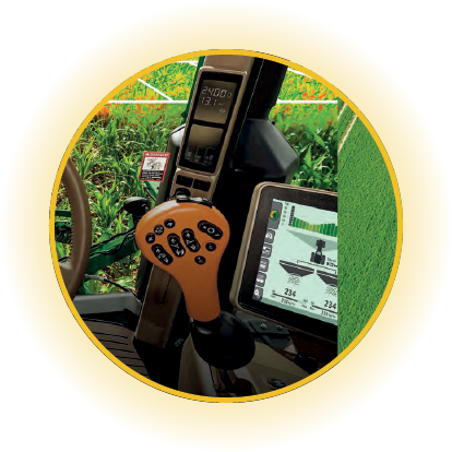
Variable rate maps are crucial to complete digital farming solutions. Digital agriculture, also known precision agriculture or precision farming, is the integration of advanced technologies including GPS, drones etc for real-time data analysis. GPS and drones to collect data on crop yields, soil quality, and other factors. By using variable rate maps to analyze this data, farmers can make more informed decisions about how to optimize their operations and improve their bottom line.


